How To
Use Google Maps
This is a quick tutorial on how to use google maps to show us the information we need in order to provide you with a quick quote!
Step 1
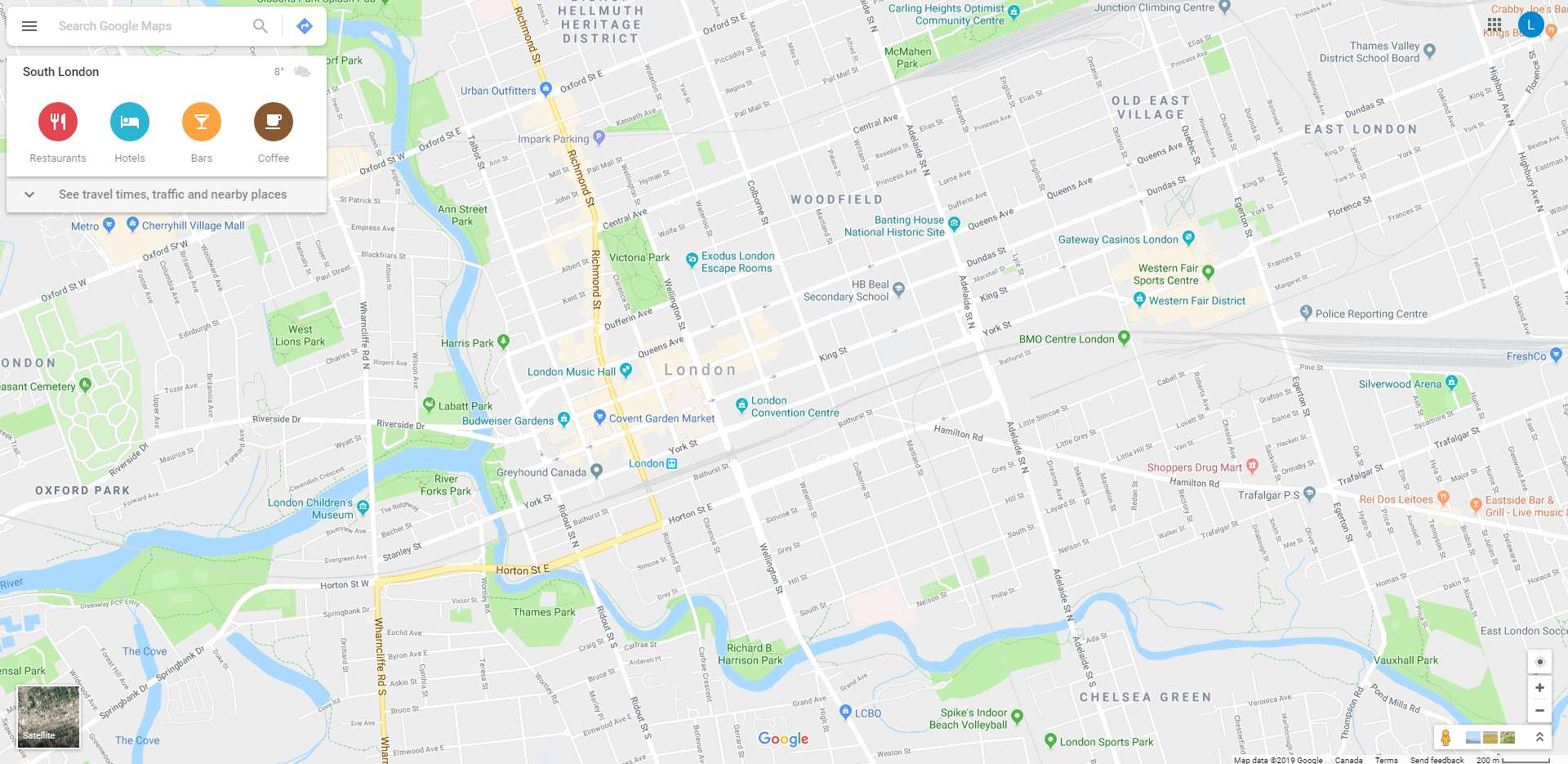
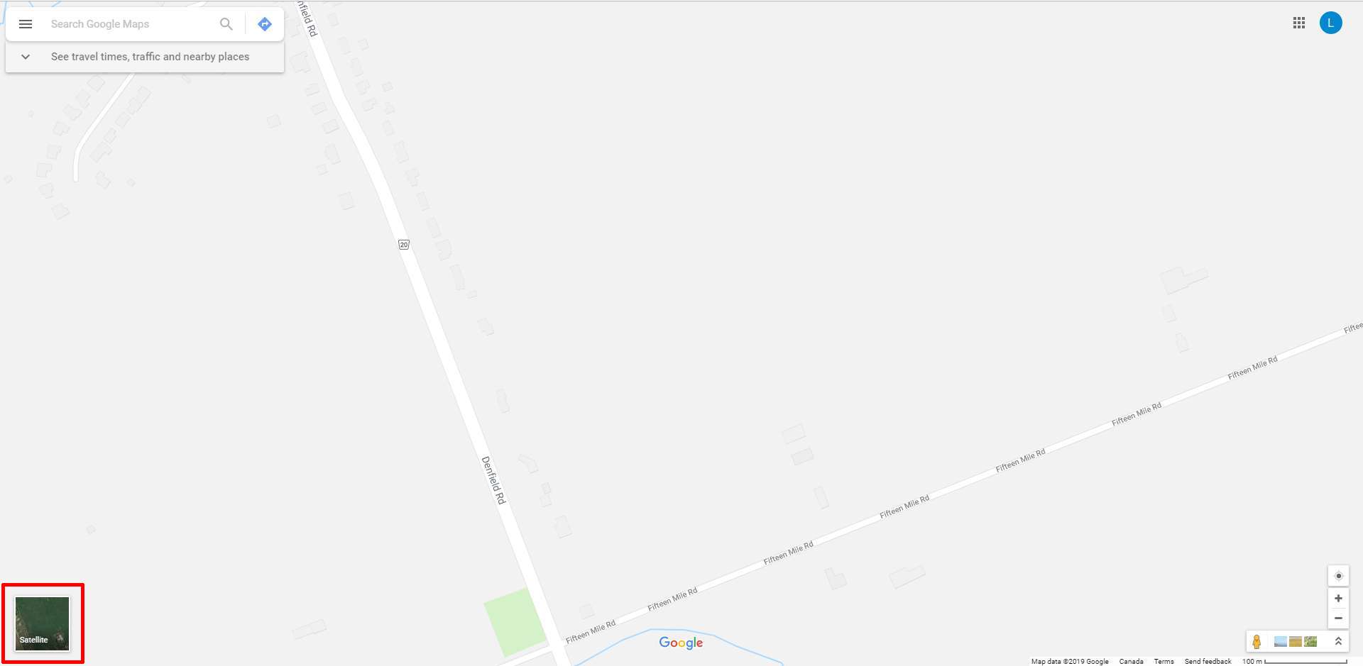
Navigate to Google Maps and find the location where the work is to be done. Click on “Satellite” in the bottom left corner.
Step 2
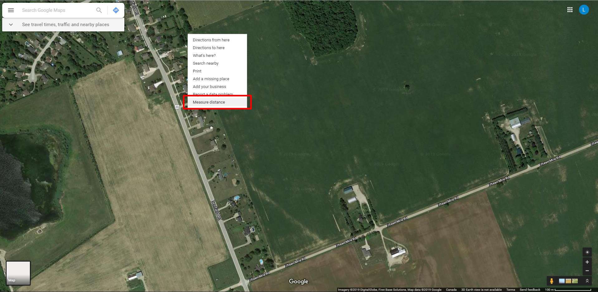
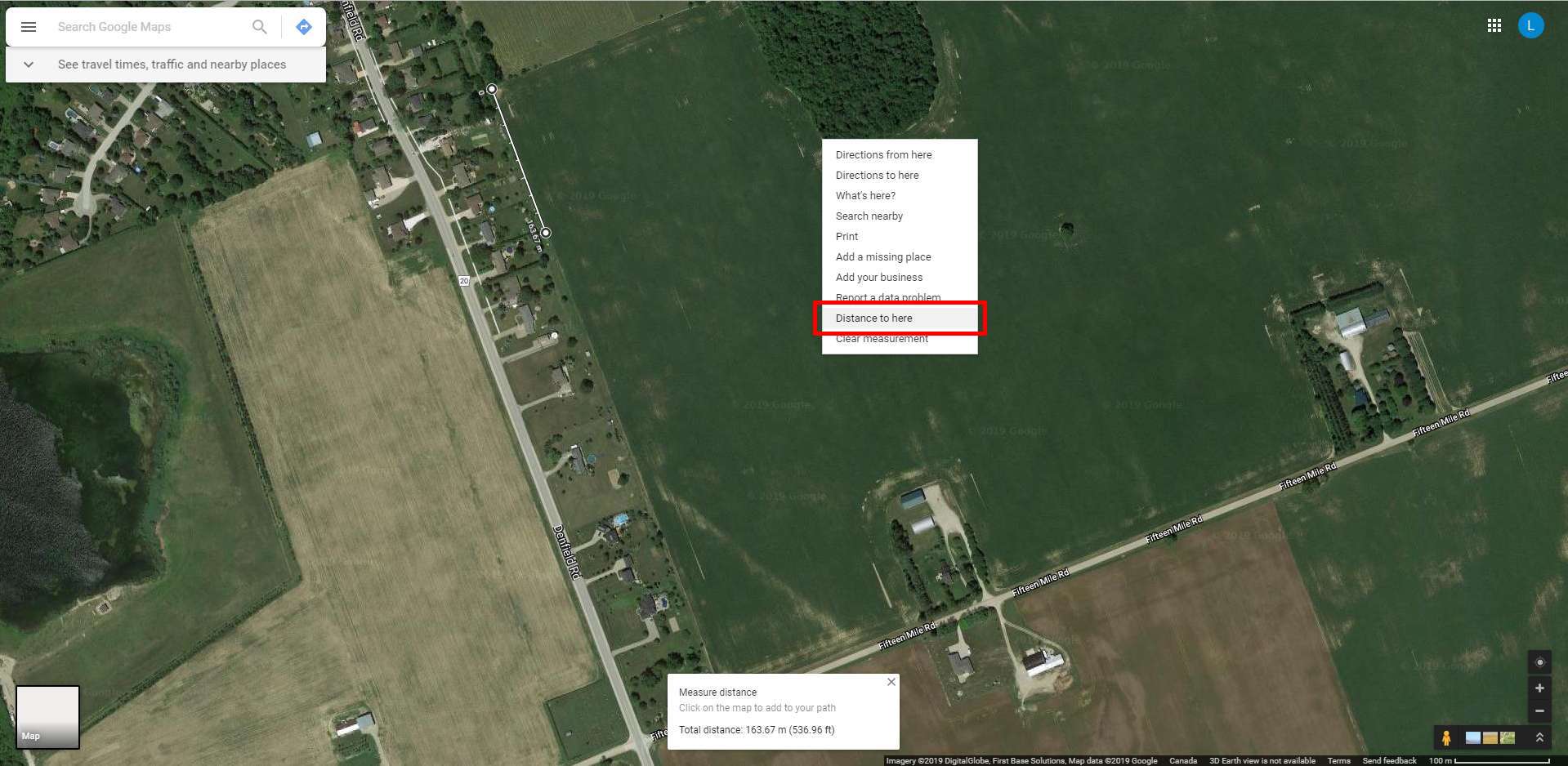
To measure the distance of the area to be worked on simply start in a corner of the area in the satellite view and right click on that corner. This will bring up some options, where you will want to select the one that reads “Measure Distance”
Move to another corner of the area you are wanting a quote for and right click again, this time selecting the option that reads “Distance to Here”. Continue to do this along every corner of the area you want to have the work done on until you are back to the first corner.
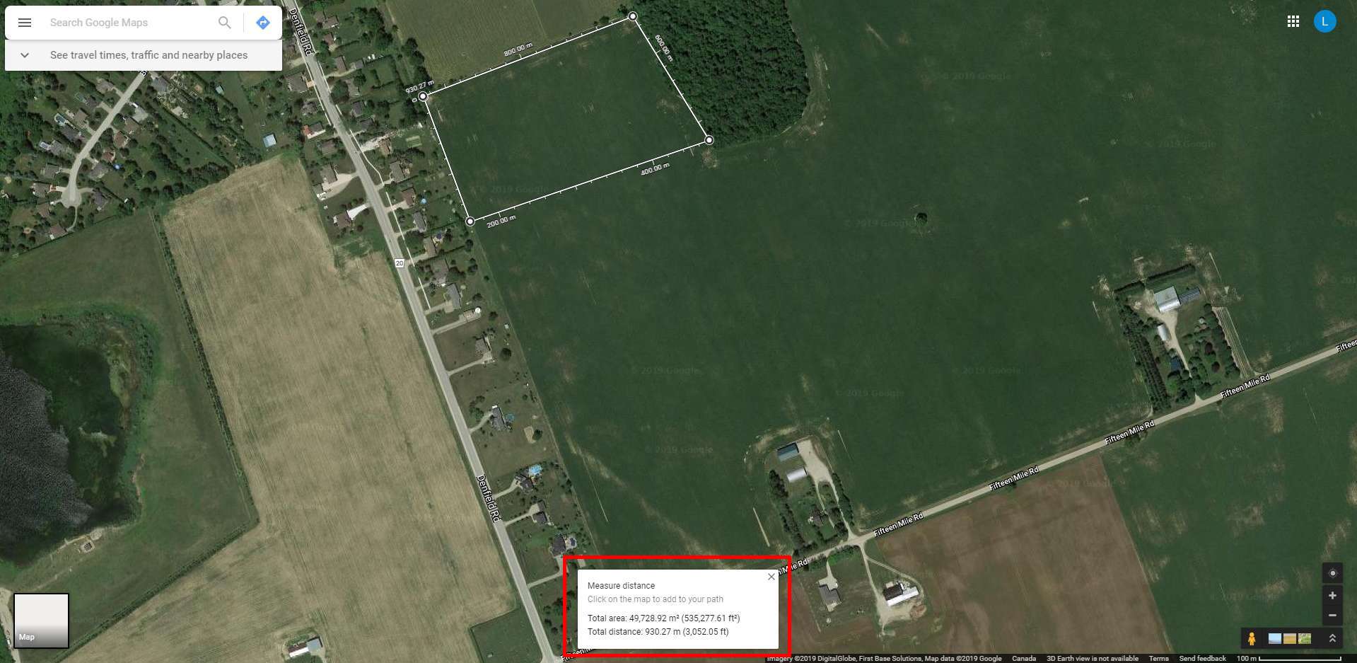
Now that the area has been selected you will see that Google Maps has provided you with not only the distance but the total surface area.
Step 3
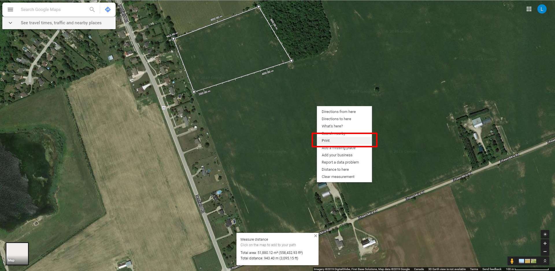
Once you have fully mapped out the area to be serviced right-click anywhere outside of the marked-off area and select “Print”.
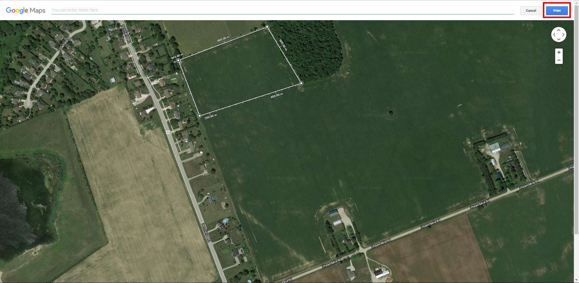
At this point you can add notes that will show on the document, or just click “Print” in the upper right corner of the screen.
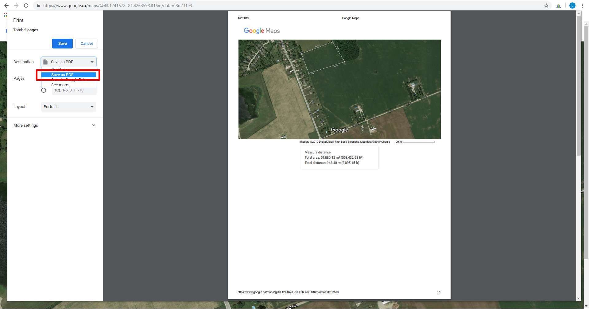
Step 4
When it asks you for the print destination click the drop-down menu and select “Save as PDF”, then follow the prompts to save the file to your computer.
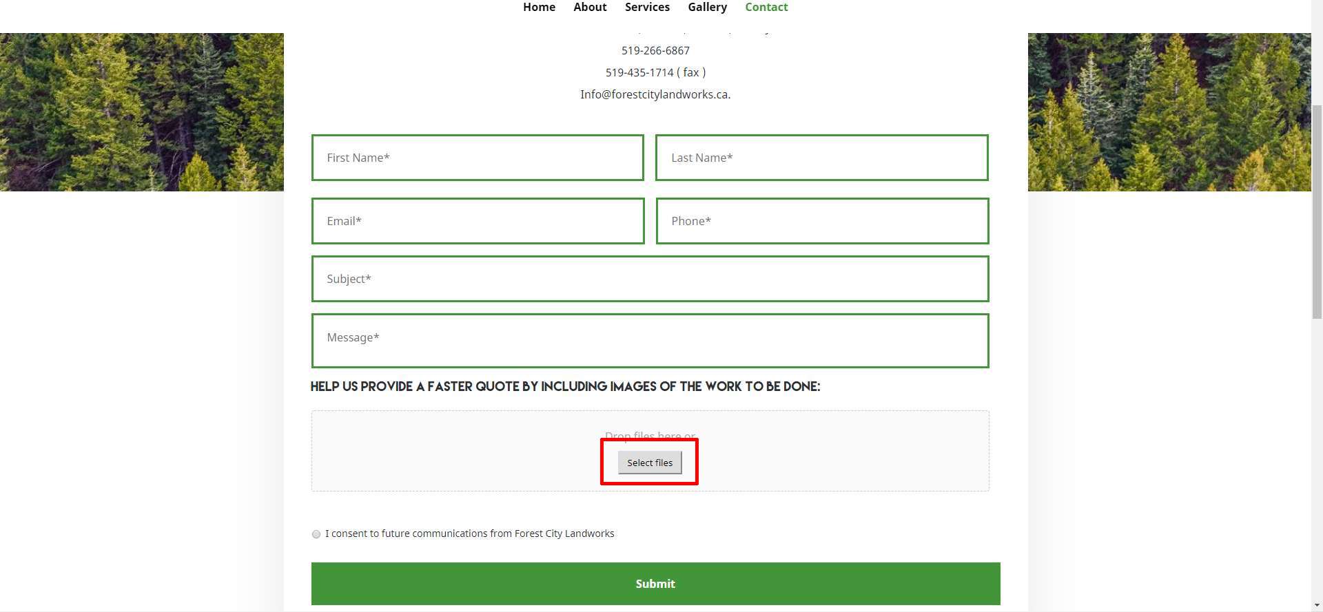
Step 5
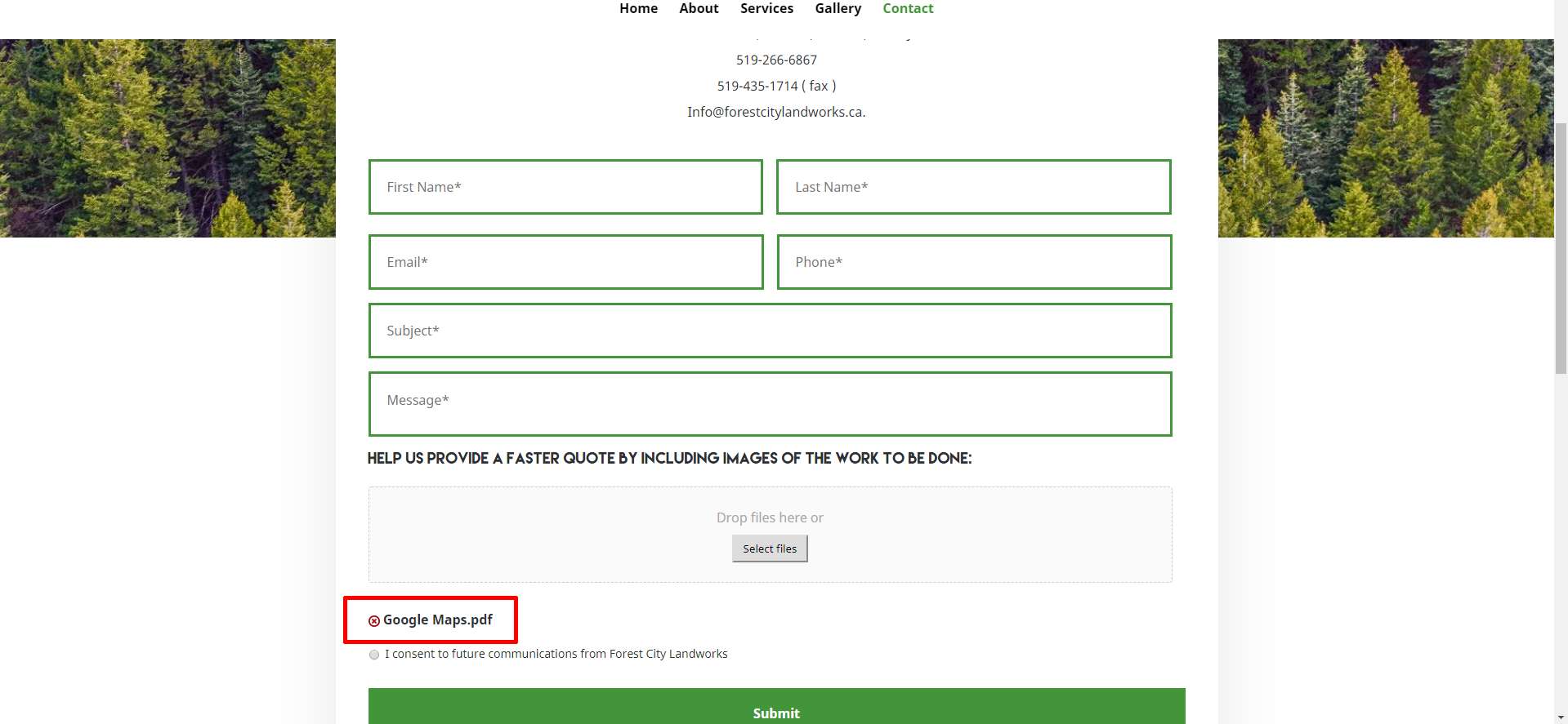
Once you have the PDF saved, return to our Contact page, fill out the requested information and then click on “Select Files”. Select the PDF you just saved from the file selection window and click OK. You should see the file name of the PDF in the contact form underneath the file selection box. Once you have filled out the rest of the information on the contact form, click “Submit”, and you’re done.